
You have made a big investment in valuable geospatial data!
But inefficient processes dramatically reduce that value!
TopoDOT has long been the world’s highest performance Digital Twin production software for civil infrastructure applications. The 7,500+ worldwide TopoDOT user community extracts high quality digital twins from 100,000+ miles of road and rail corridor annually. Today we offer the tools you need to take control of your processes and realize the value of your data!
Data governance is the foundation of an efficient digital twin production process. TopoShare lets you create and maintain your own organized data warehouse for the very reasonable price of... free!
Do you want to collaborate beyond the TopoDOT user community? TopoShare Enterprise is a web-based portal allowing your geospatial team to collaborate easily with an unlimited number of personnel across all operations. Once again, the cost is practically... free!
We should also mention that the TopoDOT/TopoShare process empowers your geospatial operations to meet ISO 19650 BIM standards!
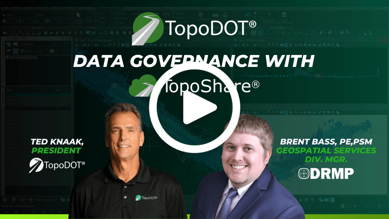
Too good to be true? DRMP acquires 25,000 miles of civil infrastructure point cloud projects annually. TopoShare data governance has been instrumental for years in their operational and financial success. See for yourself in this short interview.


.png)


