
TopoDOT Solutions Library

#1007: Encroachment Analysis in Design and Operations
This webinar introduces new TopoDOT® tools for encroachment/clash detection and analysis. Two examples demonstrate how these tools can be applied and provide value in the areas of engineering, design and daily operations.
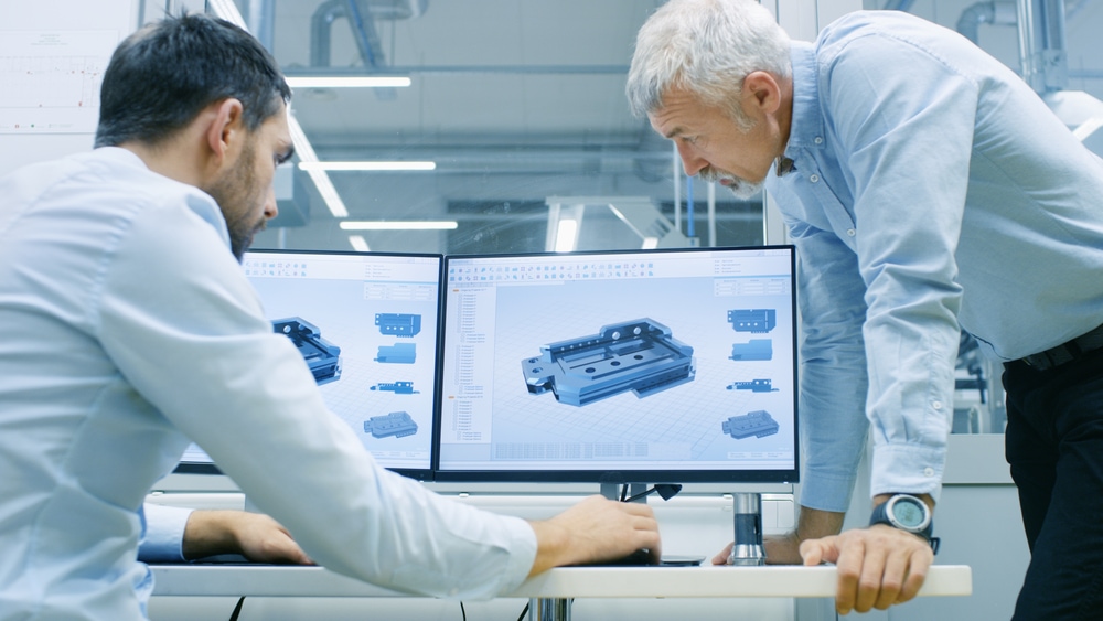
#1006: Point Cloud Alignment in Virtual Design
As LiDAR data flows from surveying and mapping to downstream design, engineering and construction operations, there exists a need to align models and/or point clouds between coordinate systems. In this demonstration you will see detailed point clouds and models of pre-fab bridge beams accurately aligned within the virtual design.
#1005: Advanced Breakline Extraction
This Webinar focuses on extracting those complex break line configurations so often encountered in topography processing. The Certainty 3D team demonstrates how to efficiently extract ramps, inlets, driveways, sidewalks, building outlines and more using TopoDOT®.
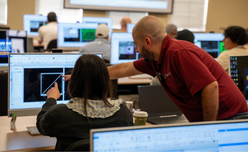
#1004: Optimizing Your Final CAD Deliverable
Learn about effective workflows to merging multiple process sections, improved feature accuracy and presentation, and matching cross sections with break line vertices for cleaner DTMs. Typically each topography feature, i.e. break lines, road surfaces, etc. from within the point cloud data requires different TopoDOT® tools and techniques. While the final […]
#1003: Clearance Measurement Tools & Techniques
Clearance measurements are typically a key deliverable along transportation and power transmission corridors. Such measurements are also very useful across operations in support of planning and installation operations. In this session, we review TopoDOT®’s general techniques and specialized tools for extracting such measurements. We show how to use TopoDOT® to […]

Sign up to stay connected with TopoDOT Solutions
Join our mailing list for product updates, webinar announcements, conference and event information, customer stories, and other news from the TopoDOT Solutions team.

Software, data governance, training, and consulting support for organizations that work with point cloud production at scale.

.png)

Winter Garden, FL 34787

